New Trail Maps Available
In case you missed it, there are new, detailed trail maps available on-line on our website. The new maps, designed by Katie Steele, City of San Marcos GIS department are very detailed and feature a satellite imagery overlay https://smgreenbelt.org/SMNaturalAreas.htm. Also new is the street address for the different trail heads so you can check out a natural area you haven’t already visited. Most trail heads have parking although they fill-up quickly on beautiful days!
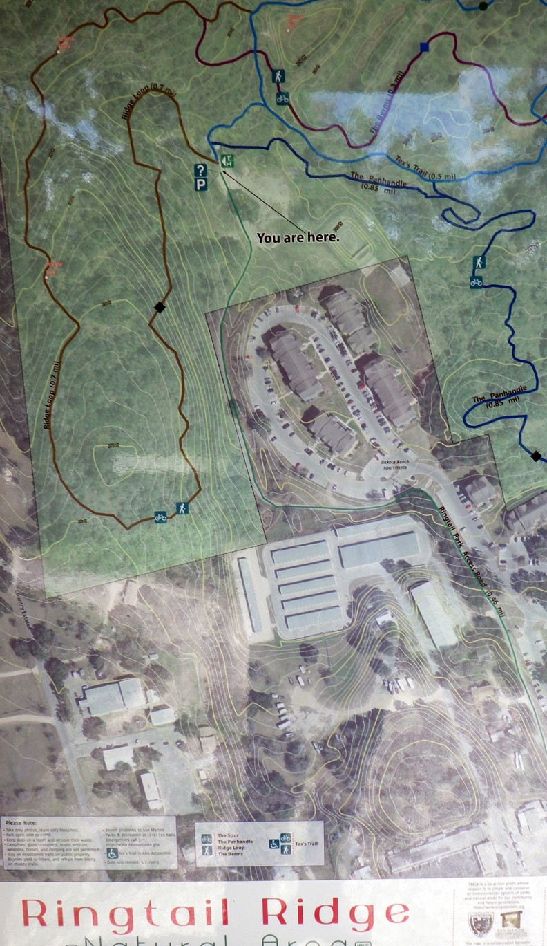 |
| Ringtail map |
Trail distances are listed on the map so you can plan a work-out before heading out. Purgatory Creek is the largest of the natural areas with the most trails, greatest elevation changes and easily challenging for the mountain biker, trail runner and hiker of all the natural areas. Spring Lake will soon have three access points with the completion of the second ADA (American with Disabilities Access) trail head on North LBJ. The stock tank between Exogyra and Skink Link trails offers a water feature with cattails and a bench for reflection.
Blanco Shoals does not have any set trails although this could easily be a jewel in the collection of five natural areas managed by the City of San Marcos because it fronts the Blanco River. The boundaries of the property are clearly marked and visitors are expected to stay within the borders. The park is prime for birdwatching, level walking and viewing a spectacular grove of pecan trees. We hope to establish trails here in a partnership with Texas State University’s ECO group in the near future but recent floods have prevented much progress (natural area may still be closed due to Memorial Day 2015 flooding).
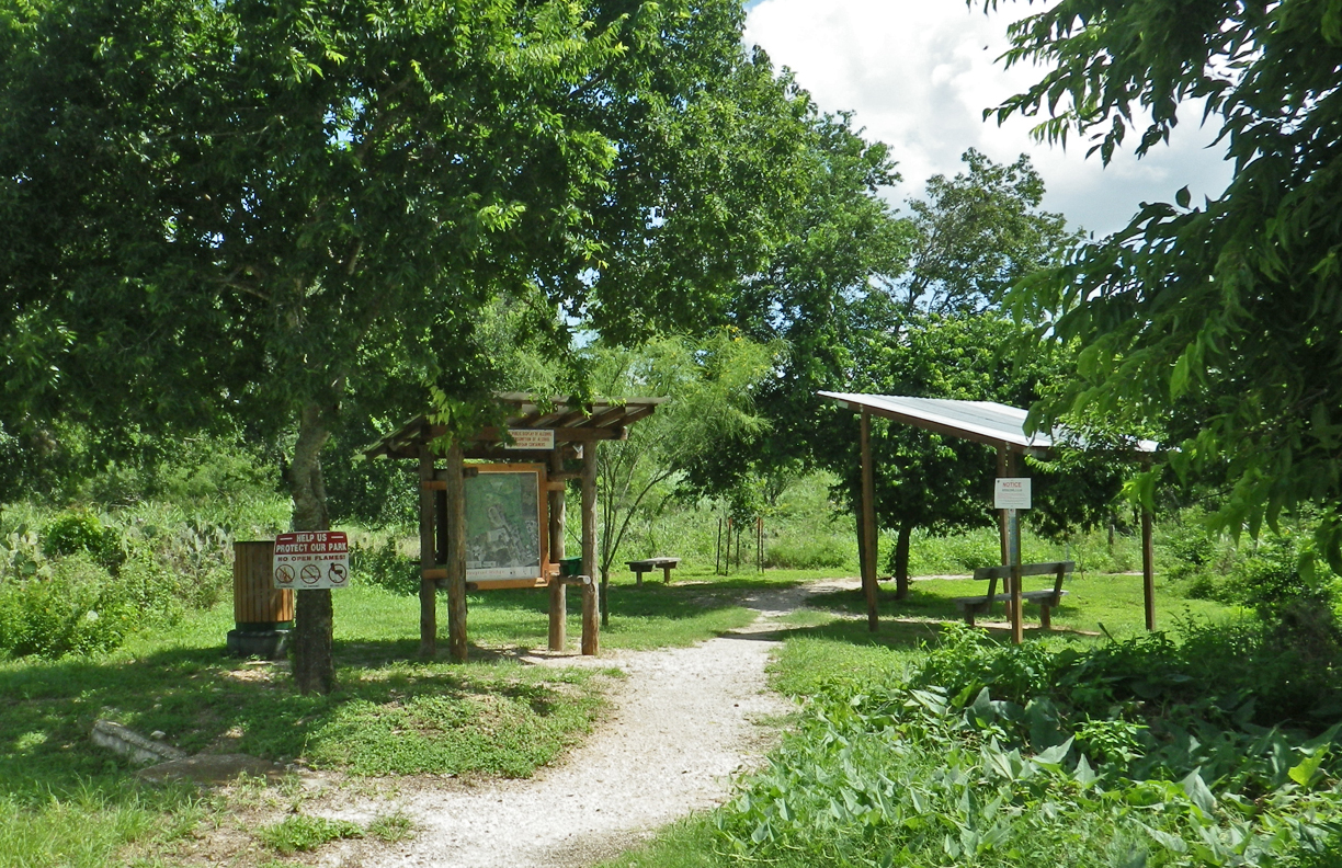 |
| Trail head at Ringtail features the new display map |
Ringtail Ridge on the northwest side of the city offers shorter trails and a variety of flora to observe and consequently, many insects including butterflies, beetles, ants and dragonflies when the three ponds hold water like they do today. This is also a good practice area for beginning mountain bikers as a trail off the Ridge Loop offers the opportunity to practice off-street biking. Painted Buntings have been spotted here as have a variety of woodpeckers.
Schulle Canyon is a small pocket park located on the northwest side that offers walking and bird watching with Warbler Walk offering a view of backyard birding with wrens, cardinals, chickadees and other favorites.
Prospect Park, while garnering it’s own map, is part of the larger Purgatory Creek Natural Area. It is the foundation of natural areas having been established in 1999 in response to development in a recharge zone.
Each of the five natural areas offers different features for exploration. The large maps at the trail heads also feature elevation changes that were not included on the PDF maps on the SMGA and CoSM websites. Please let us know how you like and use the trail maps and we’ll pass the information on to Katie Steele. –LJ