 Last December, Dr. Yihong Yuan in the TXST Geography Department reached out to me for a project she could assign to a group of students in her spring semester GIS practicum class at Texas State. I’ve worked in the past with Dr. Yuan’s students on two projects related to the proposed Emerald Crown Trail. An idea surfaced one morning at coffee after Trail Crew work: Rate the difficulty of hiking trails in some of our city natural areas. Working with Dr. Yuan meant preparing an RFP (request for proposals) that described our project, evaluating a proposal submitted by a student group to carry out the project, and working with the student group as they gathered and evaluated data. The process simulates what students would be faced with in securing and performing a contract for GIS services in the “real world.”
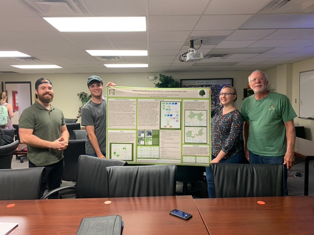
Our student group consisted of Brenna Martin, David Thomasson and Eric Stewart. Trail Crew member Joel Barks and I met with the group to discuss a scope of work. In their proposal, the students summarized their research on methods of rating trail difficulty. No uniform system is recognized in the U.S., but the most common factors affecting trail difficulty are length and change in elevation. To those, we agreed to add slope, tree cover and trail surface materials. We also agreed with the student group on formulas for how each factor contributes to trail difficulty. The scope limited the evaluation to trails in the Spring Lake and Purgatory Creek Natural Areas.
The students were able to locate data on some of the trail difficulty factors from publicly available sources, but it fell to me and other Trail Crew members to gather field data on slope and trail surface materials. We were unable to secure a GPS unit to record the data and instead relied on our cell phones. Kenny Skrobanek, a Trails and Transportation Planner with the Great Springs Project AND a Trail Crew member, provided valuable technical assistance and worked with me, my wife Jo, and my son Ben to ensure all the trails were hiked to record slope and surface materials data. Because of the lack of precision in our cell phone data, extensive work by the student group was required to make it useable.
At semester’s end, the student group presented a final report that included maps of the two natural areas with assigned trail difficulty ratings, a narrative of how the project was carried out, and all data that they collected for the project.
My thanks go to our student group, to Dr. Yuan, and to Joel, Kenny, Jo, and Ben for contributing to the success of this project!
Written by Mark Taylor, trail crew member.