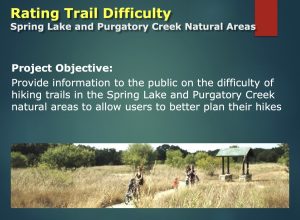
 SMGA members Mark Taylor, Ben Taylor, and Joel Barks are currently working with students in Texas State University Professor Yihong Yuan’s Geography 4427 class, the GIS Consulting Practicum, to develop a system to rate the difficulty of the trails in Spring Lake and Purgatory Creek Natural Areas. As an external client for the class, SMGA hopes to be able to “incorporate trail difficulty information in the City/SMGA trail maps so trail users have a better idea of whether their hiking capabilities match with trails they want to hike.”
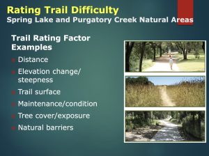
The rating of trail difficulty will be based on such factors as distance, elevation change/steepness, trail surface, maintenance/condition, tree cover/exposure, and natural barriers.
 Yuan’s class is also undertaking projects to study Austin’s Pinnacle Fire, which destroyed 8 homes in 2011, and sewage leaks over the Edwards’s Aquifer. In the former project, students will identify “wildland urban interface (WUI)” areas around Austin that are currently at risk for wildfire and prioritize them for mitigation. The aim of the second project is to collect data from wastewater plants in the Edwards Aquifer Recharge Zone and to incorporate those data into a web-based GIS map that the public can access online.
These three projects are more examples of how Texas State University students and faculty engage in real-world issues to benefit San Marcos, along with other communities in our area. In the fall of 2021, three Texas State classes collaborated with SMGA to produce educational and promotional materials.
